Andreas Daniel Hartl, Michael Reichmann, Jürgen Thierry
Wiesuell OG
Georg Wieser, Ozana Nemcanin
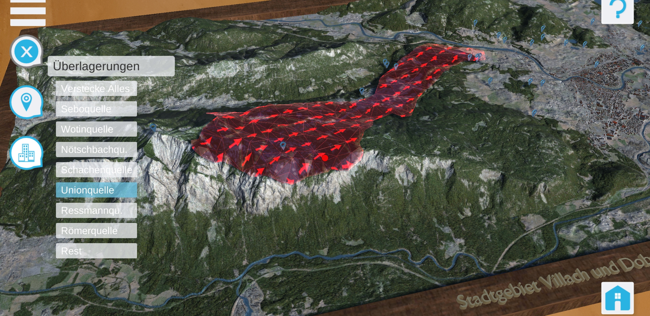
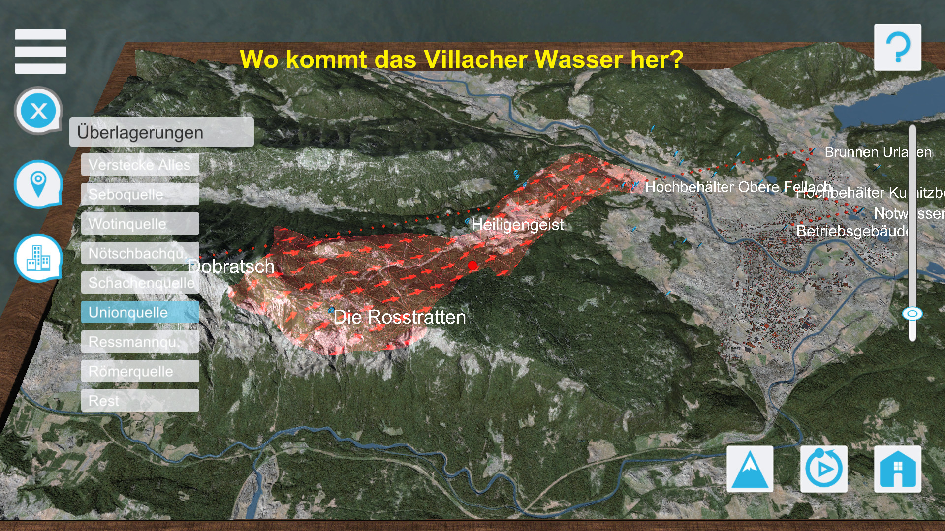
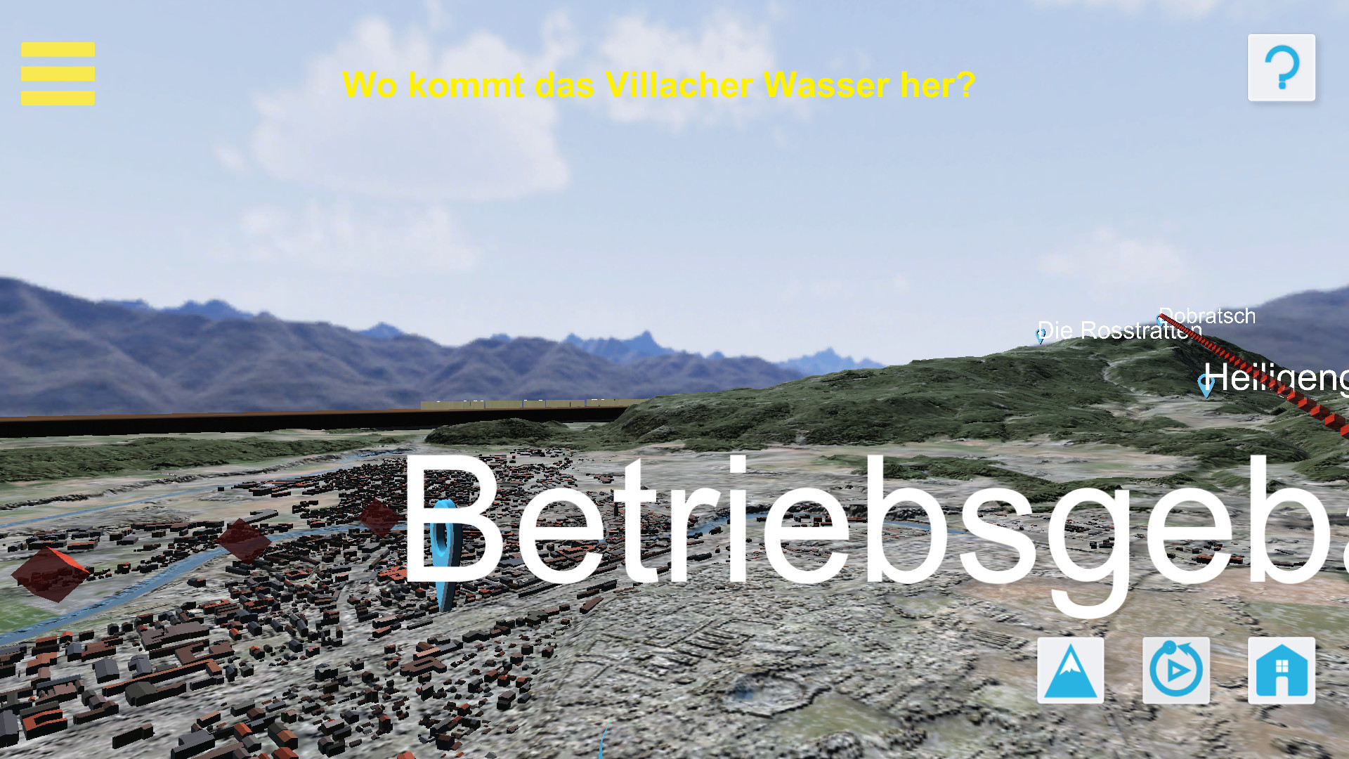
In diesem Projekt sollten die geologischen Beschaffenheiten und Besonderheiten des Dobratsch Gebietes in Bezug auf die Wasserversorgung Villachs visualisiert werden.
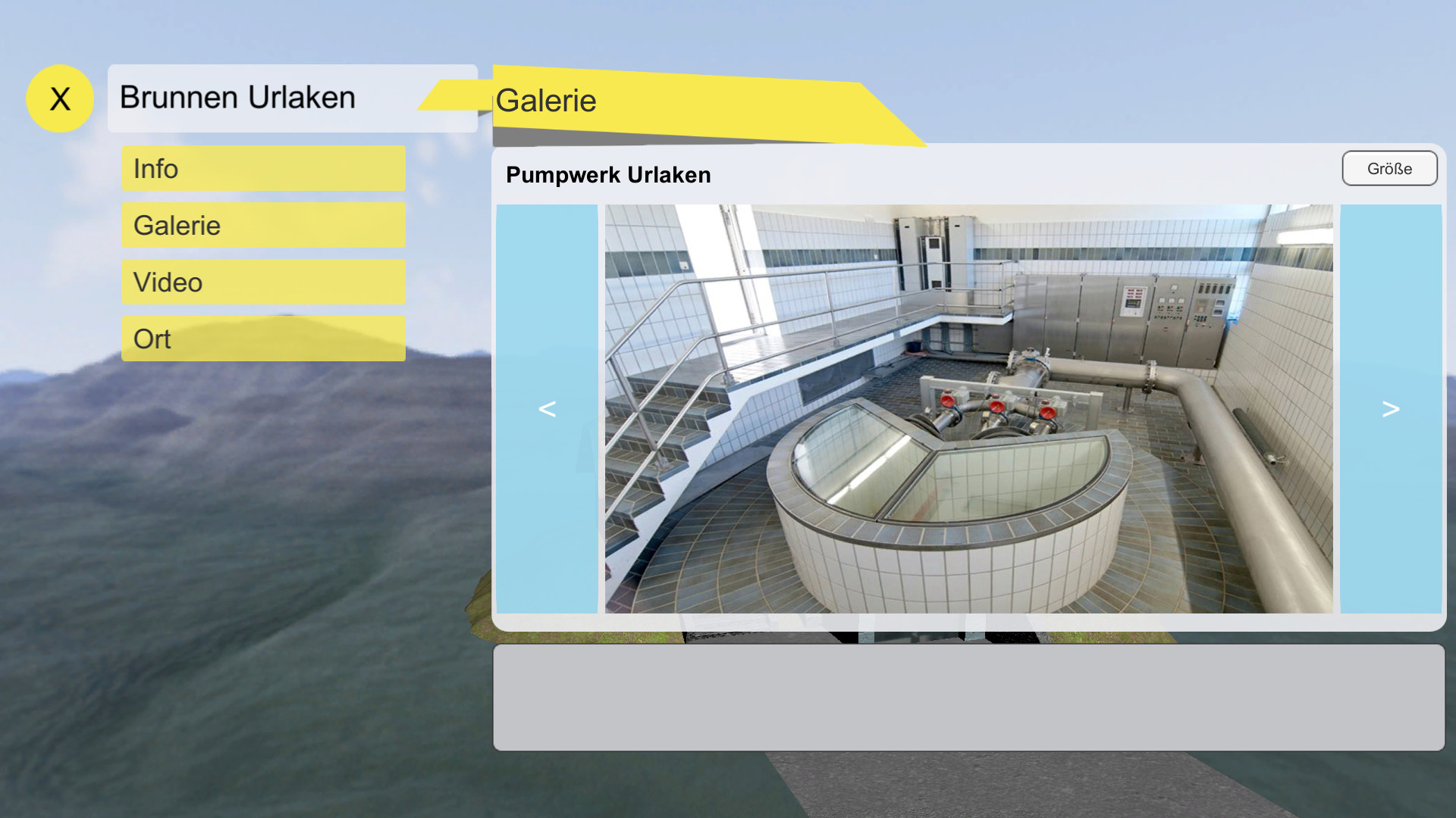
In der Folge wurde ein interaktives Präsentationswerkzeug geschaffen, das auf einem 3D-Landschaftmodell des Zielgebietes basiert. Dieses dient als Eintrittspunkt für weiterführende Informationen zur Wasserversorgung mittels relevanter Medien.
Da System unterstützt neben der manuellen Auswahl von Informationen einen automatischen Präsentationsmodus, in welchem ein Flug über das 3D-Landschaftsmodell realisiert ist.
Die Realisierung erfolgte als mobile Anwendung für Tablets und Smartphones mit der Option zur Ausgabe auf einem Projektor
Die modulare Auslegung der Anwendung erlaubt eine einfache Erweiterung mit neuen Inhalten.
Zusätzlich wurde ein Augmented Reality (AR) Modus mit entsprechender 3D-Nutzerschnittstelle integriert.